Jonathan Moczygemba, Chairperson
U.S. Fish & Wildlife Service
jonathan_moczygemba@fws.gov

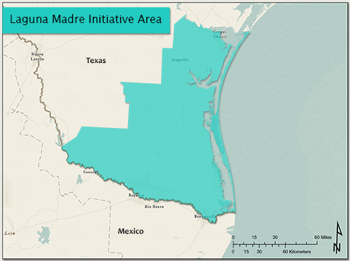
The Laguna Madre Initiative Area is composed of five counties along the extreme lower coastal plain of Texas from the western shores of Nueces and Corpus Christi Bays to the mouth of the Rio Grande River and three adjacent inland counties. The Initiative Area's estuarine environment is dominated by a hypersaline lagoon system consisting of the Laguna Madre of Texas, Baffin Bay, Alazan Bay, and South Bay.
Coastal prairie and sand plains dominate the inland areas. The entire Laguna Madre Initiative Area covers approximately 11.7 million acres and has approximately 125 miles of coastline which are largely undeveloped. The west boundary of the Initiative Area extends approximately 275 river miles from the Gulf of America to the northwest corner of Starr County on the Rio Grande.
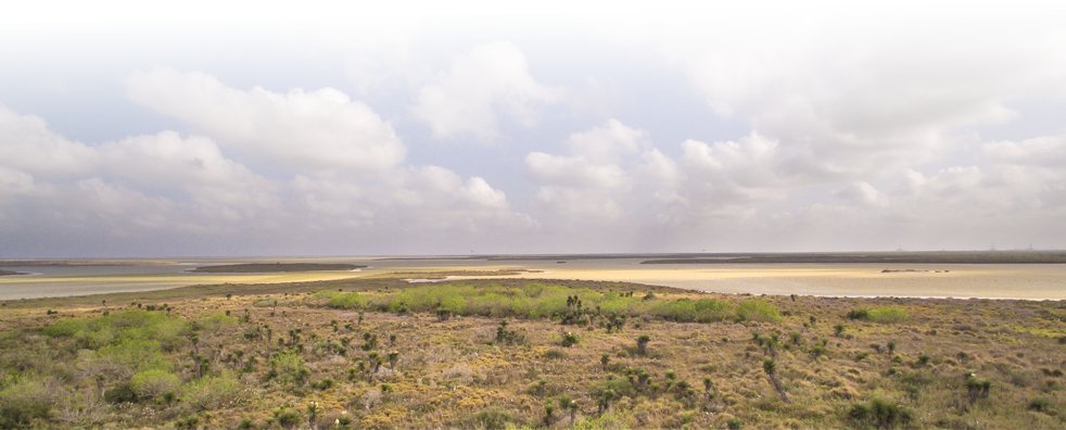
The Laguna Madre of Texas is a long (124 miles), narrow (maximum width of 7 miles), shallow (less than 3 feet deep) lagoon that extends the entire length of the south Texas coast from Corpus Christi Bay to the Mexico border. It is separated from the Gulf of America by barrier islands and is composed of distinct upper and lower geographic sections that are divided by extensive sand flats or "the land bridge" between the mainland and Padre Island. The land bridge begins just south of Baffin Bay and extends approximately 12 miles to the south. The Upper Laguna Madre extends from the west side of Corpus Christi Bay south to the land bridge and includes the Baffin Bay complex. The Gulf Intracoastal Waterway cuts through the land bridge and provides a continuous water connection between the upper and lower parts of the Laguna and increases water exchange with the Gulf of America. The Lower Laguna Madre extends south from the land bridge to the Brazos Santiago Pass opening to the Gulf of America near Port Isabel, Texas, and includes the South Bay ecosystem. It is fed by major drainage ways including the Arroyo Colorado, the Raymondville Drain, and the North Floodway. The arid nature of the watershed limits the frequency of freshwater inflow events to this system. The Port Mansfield Channel, near Port Mansfield, Texas, cuts through Padre Island providing a narrow opening to the Gulf of America.
GCJV Bird Conservation Plans for Laguna Madre Initiative Area

 700 Cajundome Blvd.
Lafayette, LA 70506
Phone: 337-262-7001 Fax: 337-262-7000
Copyright 2020 Gulf Coast Joint Venture - Webmaster