
Texas Chenier Plain Initiative Team
Stephen McDowell, Chairperson
Texas Parks and Wildlife Department
stephen.mcdowell@tpwd.texas.gov

Stephen McDowell, Chairperson
Texas Parks and Wildlife Department
stephen.mcdowell@tpwd.texas.gov
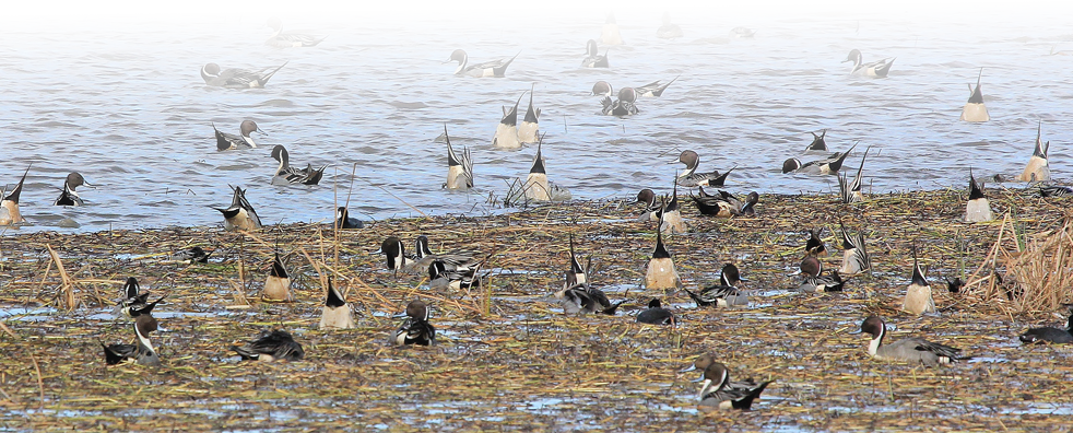
The Texas Chenier Plain Initiative Area is a rich and complex mixture of wetlands, uplands, and open water that extends roughly 200 miles from Sabine Lake at the Texas-Louisiana state line to Galveston Bay (see map). It runs from the expansive coastal marshes bordering the Gulf of America shore, inland for 40 to 70 miles through the coastal prairie into areas of intensive rice cultivation.
Geographically it includes the the Texas counties of Chambers, Jefferson, Orange, and Liberty. Very small portions of Galveston and Harris Counties are also included at the western edge of the Texas segment.
GCJV Bird Conservation Plans for Texas Chenier Plain Initiative Area
Lafayette, LA 70506
Phone: 337-262-7001 Fax: 337-262-7000
Copyright 2020 Gulf Coast Joint Venture - Webmaster