
Cassidy Lejeune, Chairperson
Ducks Unlimited
clejeune@ducks.org

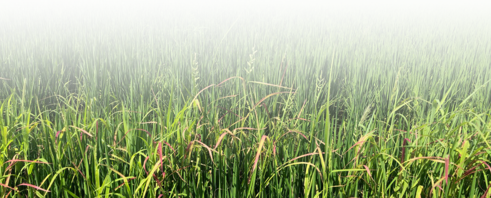
The Louisiana Chenier Plain Initiative Area is a rich and complex mixture of wetlands, uplands, and open water that extends roughly 200 miles from Vermilion Bay, Louisiana, to Sabine Lake at the Texas-Louisiana state line (see map at left). It runs from the expansive coastal marshes bordering the Gulf of Mexico shore, inland for 40 to 70 miles through the coastal prairie into areas of intensive rice cultivation.
Geographically it includes the Louisiana parishes of Cameron, Calcasieu, Vermilion, Acadia, Jefferson Davis, Allen, and Evangeline. Paralleling the coastline are old beach ridges known as cheniers that are characteristic of the area and form natural levees, bordering an immense marsh. Lying within this marsh zone are great estuarine lakes such as White, Grand, Calcasieu, and Sabine. The entire Louisiana Chenier Plain Initiative Area covers well over 10,000 square miles or approximately 6.5 million acres.
GCJV Bird Conservation Plans for Louisiana Chenier Plain Initiative Area
Lafayette, LA 70506
Phone: 337-262-7001 Fax: 337-262-7000
Copyright 2020 Gulf Coast Joint Venture - Webmaster