
Angela Trahan, Chairperson
USDA-NRCS
angela.trahan@usda.gov

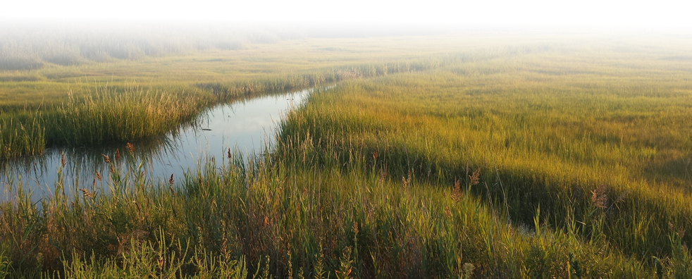
The Mississippi River Coastal Wetlands Initiative Area is bounded on the east by the Louisiana state line and extends westward to Vermilion Bay. It includes extensive marshland dominated by salt and brackish marshes with numerous large, open water bays and barrier islands. Although the northern boundary occurs at roughly the marsh-swamp interface, the region extends far enough inland to include a fringe of forested wetlands south and east of Louisiana State Highways 90, 70, and 22 and Interstate 12. Of particular significance to regional bird populations are two major river deltas-the Mississippi and the Atchafalaya-dominated by fresh marsh. The Mississippi River Coastal Wetlands Initiative Area includes all or portions of 17 Louisiana parishes.
GCJV Bird Conservation Plans for Mississippi River Coastal Wetlands Initiative Area
Lafayette, LA 70506
Phone: 337-262-7001 Fax: 337-262-7000
Copyright 2020 Gulf Coast Joint Venture - Webmaster